By continuing to browse or by clicking to "Accept", you agree to the storing of cookies on your device to enhance your site experience and analytical purposes. To learn more about how we use the cookies, please see our Privacy Policy.
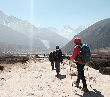
The Dooars or Duars literally means “Doors” i.e. the Gateway. It is
indeed the gateway of the Himalayas and Bhutan. The Dooars is situated at the foothills of
the Eastern Himalaya mountain range. It is a magnificent region full of green hills and
valley, jungle, rivers and tea plantations. On the south of the outer foothills of the
Himalayas and north of the Brahmaputra River basin. This region is divided by the Sankosh
River into Eastern and Western Dooars. The Western Dooars is also known as the Bengal
Dooars, and the Eastern Dooars as the Assam Dooars. It is the home of many wildlife. And
indeed a doorway to beautiful paradise in North Bengal.
According to history, the Dooars belonged to the Kamata Kingdom under the Koch
dynasty; and taking advantage of the weakness of the Koch kingdom in subsequent
times, Bhutan took possession of the Dooars. This region was controlled by the kingdom of
Bhutan when the British annexed it in 1865 after the Bhutan War under the command of
Captain Hedayat Ali. The area was divided into two parts: the eastern part was merged
with Goalpara district in Assam and the western part was turned into a new district
named Western Dooars. Again in the year 1869, the name was changed to Jalpaiguri
District. After the end of the British rule in India in 1947, the Dooars acceded into India’s
dominion and merged with the Union of India shortly afterwards in 1949.
The elevation of the Dooars area ranges from 90 to 1,750 m. Innumerable streams
and rivers flow through these fertile plains from the mountains of Bhutan. In Assam, the
major rivers are the Brahmaputra and Manas. In northern West Bengal, the major river is
the Teesta besides many others like the Jaldhaka, Murti, Torsha, Sankosh, Dyna, Karatoya,
Raidak, and Kalchini rivers, among others.
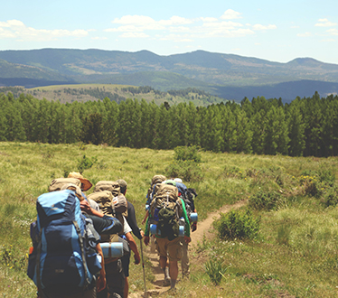
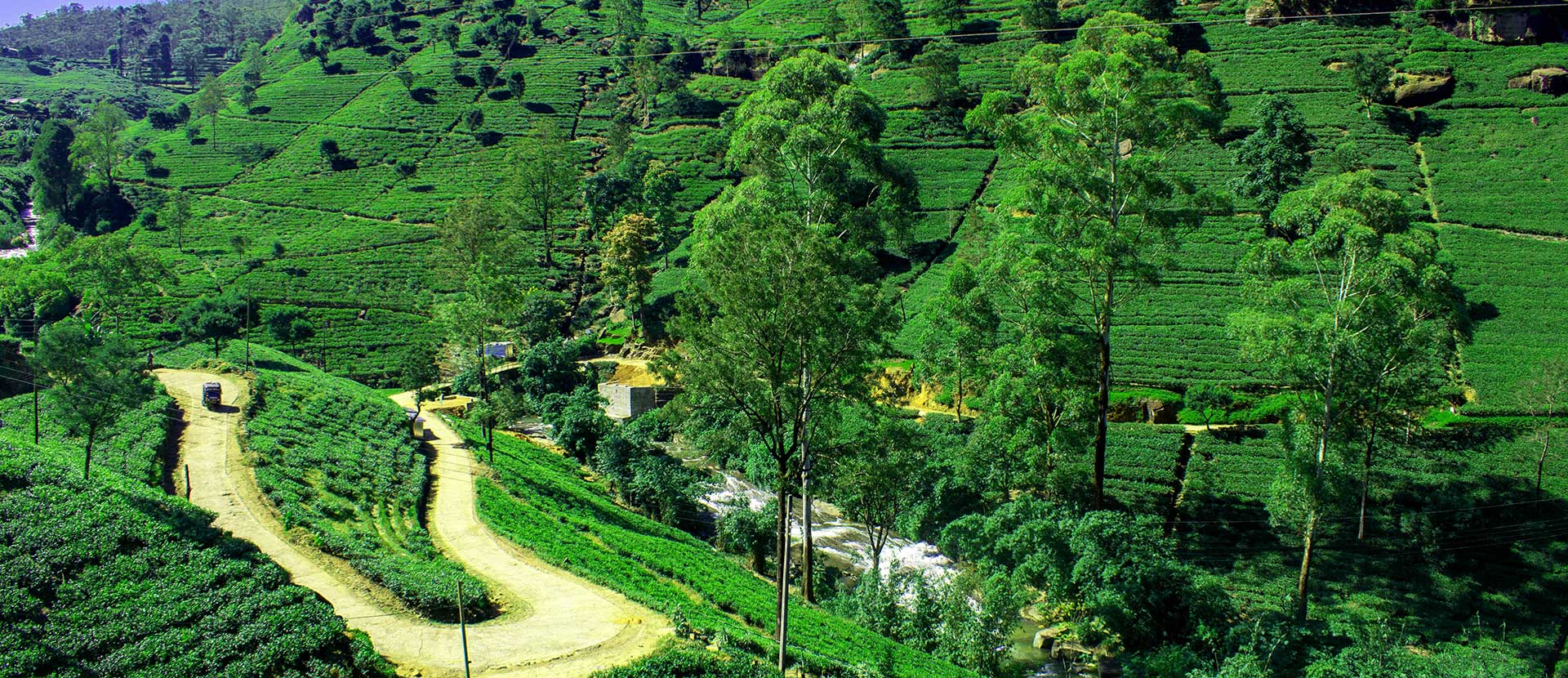
Dooars is the creation of diversifying the miracle of Mother Nature. Here winter is
chilly and summers are soothing. It offers flowing rivers, beautiful landscapes, majestic
hills and cinematic tea gardens altogether at the same junction. Here the weather and the
beauty of the landscape changes from one place to another. In the monsoon, the rain
bestows its grace in abundance. Which beautifully nurtures the flora and fauna to its full
potential. In addition, the known and unknown chirpings coming out from the
eye-soothing verdure forest always welcomes tourists with open arms. You can enjoy the
summer as well, as the summer is polite compared to other regions. This is less crowded
compared to any other tourist destination.
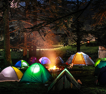
You can relax under the starry sky in front of a bonfire, or watch the sunrise from the
balcony of your room with a cup of tea in your hand-Dooars offers you numerous choices.


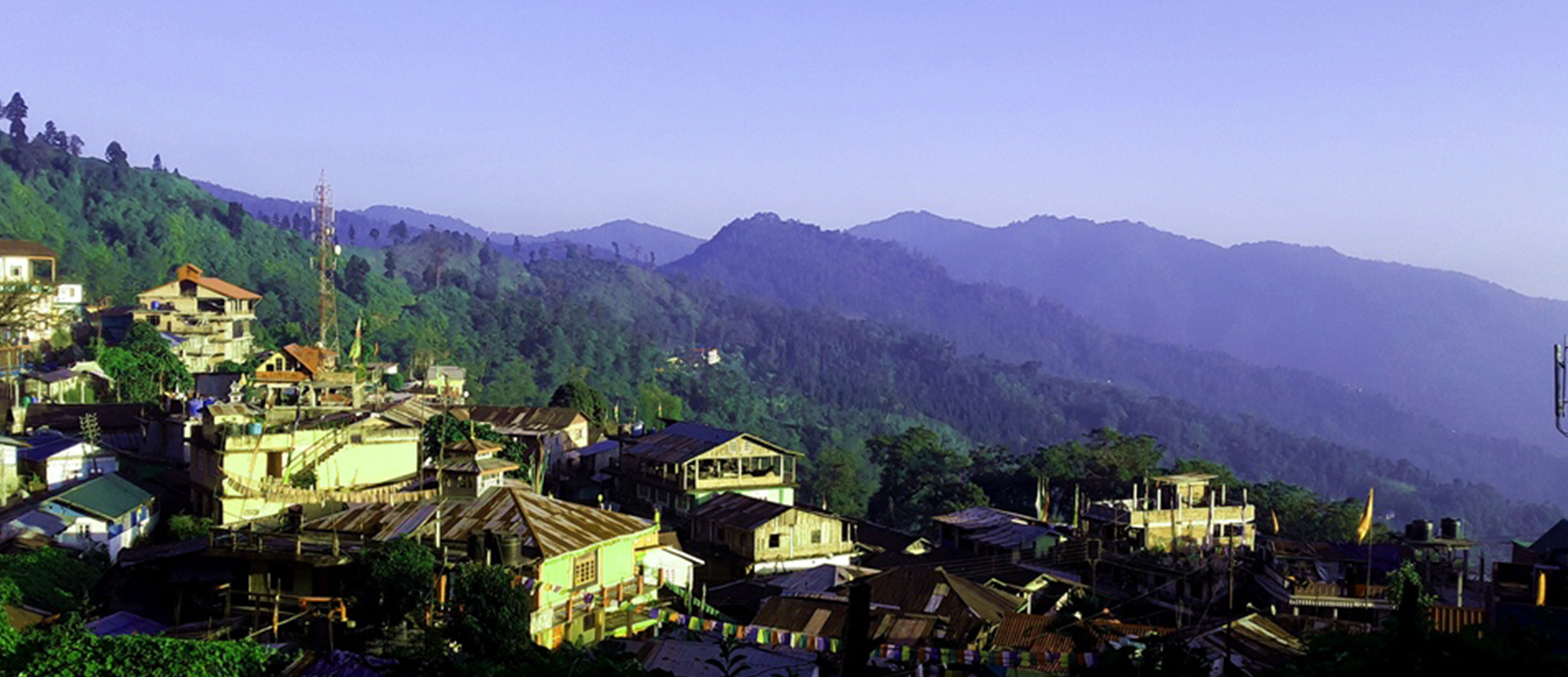
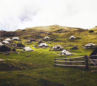
Algarah, or as locally known Algara, is a small Himalayan town, located in the eastern side, at a distance of 15.9 kilometres away from the district town Kalimpong.
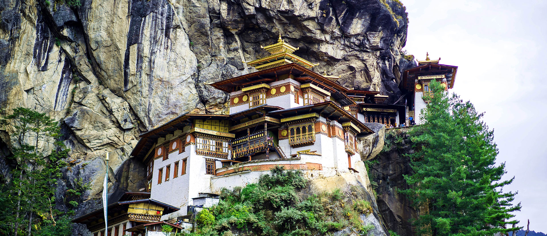
Bhutan, the Land of Happiness, is one of the most favourable tourist destinations among the travellers in Asia. This eastern Himalayan country is surrounded by mountains, sharing borders with Tibet(North) and India(South).
Darjeeling District is the northernmost district of the state of West Bengal in eastern India in the foothills of the Himalayas. The district is famous for its hill station Darjeeling tea.

The Dooars or Duars literally means “Doors” i.e. the Gateway. It is indeed the gateway of the Himalayas and Bhutan. The Dooars is situated at the foothills of the Eastern Himalaya mountain range.
Ichhey Forest village is a small Himalayan hamlet of Kalimpong District, a treasure hidden behind the veil of beautiful Cinchona Forest.
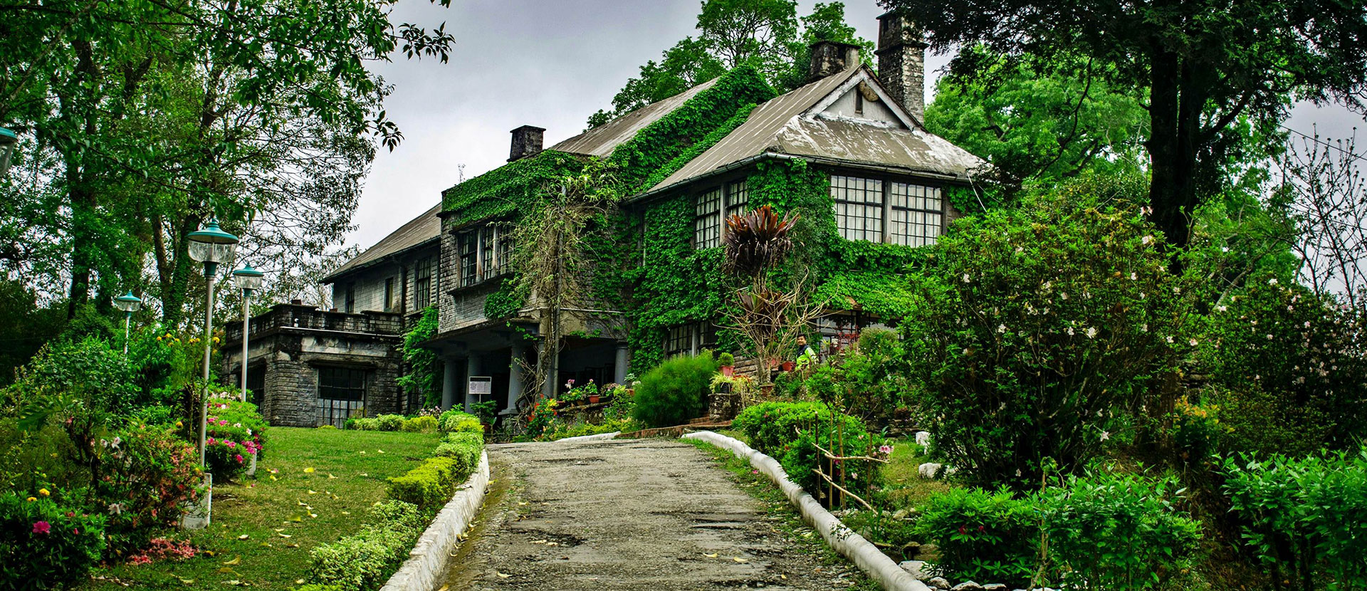
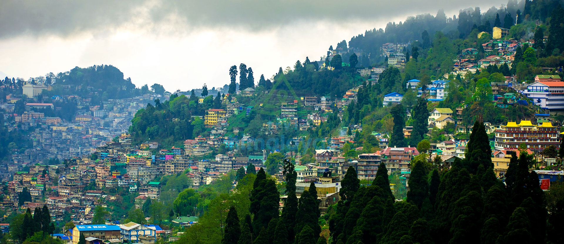
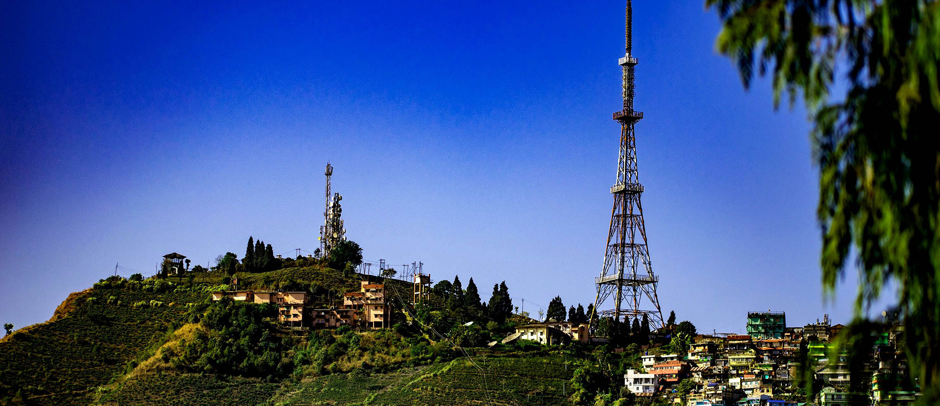
Kalimpong is a new district town of West Bengal, India. Situated at an elevation of approx.1250 metres (4101feets), above the ridge of the Teesta River.
Kurseong is a seraphic hill station entrancingly stowed on the ridge of the Queen of Hills. Located at an altitude of 1458m(4864ft) and 32 km away from Darjeeling.
Lava is a beautiful Himalayan suburb, situated at the foothill of the Himalayas. It is hidden behind the misty clouds and one of the best getaways in North Bengal.
Mangmaya or Magwa is a beautiful Himalayan destination, located(around 7km & 9km) above the Teesta Bazaar overlooking the unwrinkled convergence of river Teesta and Rangeet and Kalimpong Hills, facing each other.
Mirik is a picturesque small offbeat Himalayan Destination, a perfect summer escape in the Queen of Hills(In 2017 became the sub-divisional headquarter).
Pedong is a small and buzzing Himalayan town, situated to the eastern side, at a distance of 22km from Kalimpong. And standing at an elevation of approx 1240m(4100ft).
Sikkim is a north-eastern state of India and is one of the seven sister states in this part of the Himalayan region.It shares three international borders with Tibet(Northern side), with Nepal(Western side), with Bhutan(Eastern side) and the Southern side is connected with the state of West Bengal.
Beautifully oriented by the aromatic orange orchard along with the undisturbed eye-catching green forest and its habitants, Sittong is apparently a neonate Himalayan destination in the mountains of the Queen of Hills.